An of the alternative more known to services as Google Maps and Bing Maps just of launch their own vision of StreetView, a feature that us allows display them streets from our computer. Such as OpenStreetMap, the project is collaborative and is seeks that the people participate to expand the base of information.
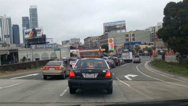
OpenStreetView is the new project of open source in which OpenStreetMap users can share images of streets that pass to have a view of it. Therefore, is difference of services like Google StreetView to the show images of the streets as a gallery and not as a view in 360 degrees.
The advantage more important of OpenStreetView is that their users will find images more recent of them places that seek, as in the case of Google StreetView is must send cars to them roads to update them maps. In addition, multiple images of the same place and not just one you have.
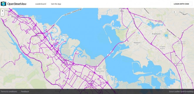
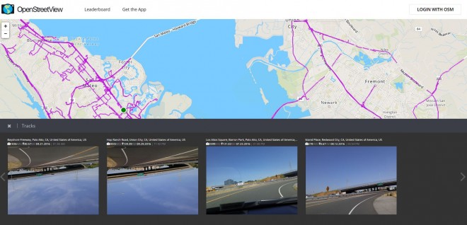
To use OpenStreetView a browser is needed, and this project page directly binds us to the streets of San Francisco in pink, which indicates that there are images to see: some veering towards the road, others on the sides and no shortage of which are uploaded upside down.
Who want to participate in this collaborative project can be done downloading applications for Android and iOS, registering and subsequently uploading your pictures. As more users contribute, more cities will appear in OpenStreetView, their main objective.
Comment is free, as always. Don’t forget to follow us and comment on Facebook.